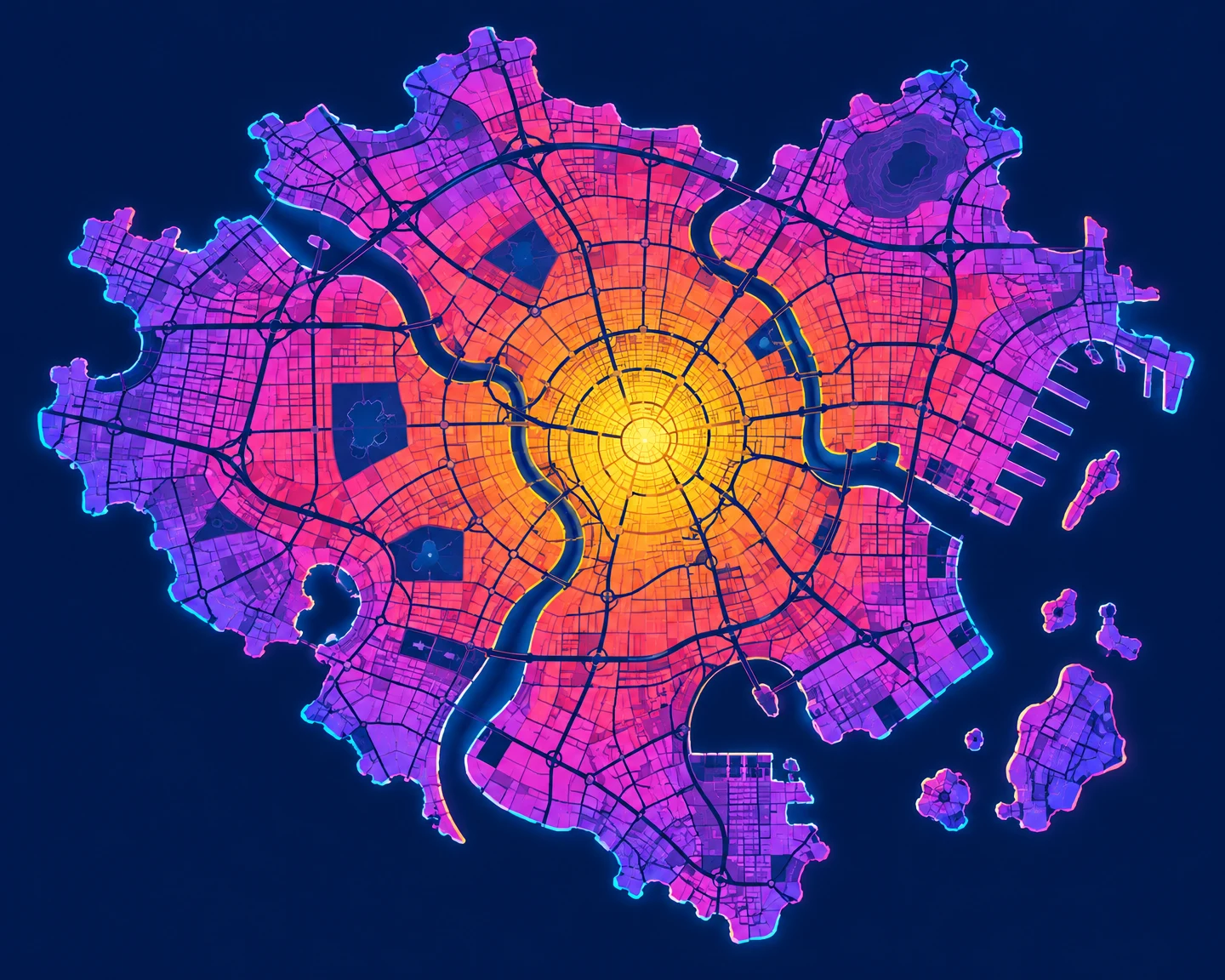
Luminous City Heat Map
A richly colored schematic city map uses nested thermal zones, patterned neighborhood blocks and a glowing central hotspot against deep navy.
- Small640 × 512
- Medium1200 × 960
- LargePro2400 × 1920
- XLargePro4800 × 3840
Polished vector-style raster illustration, landscape 5:4. One fictional city heat map viewed directly overhead, isolated on a deep navy background with generous margins. An irregular city footprint contains crisp neighborhood polygons and a coherent branching street network drawn as narrow navy channels. Broad nested thermal zones progress from violet and magenta at the perimeter through coral and orange to one golden central hotspot. The hotspot emits an impossible symbolic halo, rendered as clean concentric translucent shapes. Cyan and electric-pink edge accents evoke reflected neon without depicting a street scene. Maximalist richness through bold color relationships, repeated block patterns and layered contours, while keeping the central hotspot unmistakable. Flat fills, smooth curves, consistent line weights, no tiny decorative marks. Schematic artwork, not a factual geographic dataset. No people, no text, no labels, no logos, no watermarks.